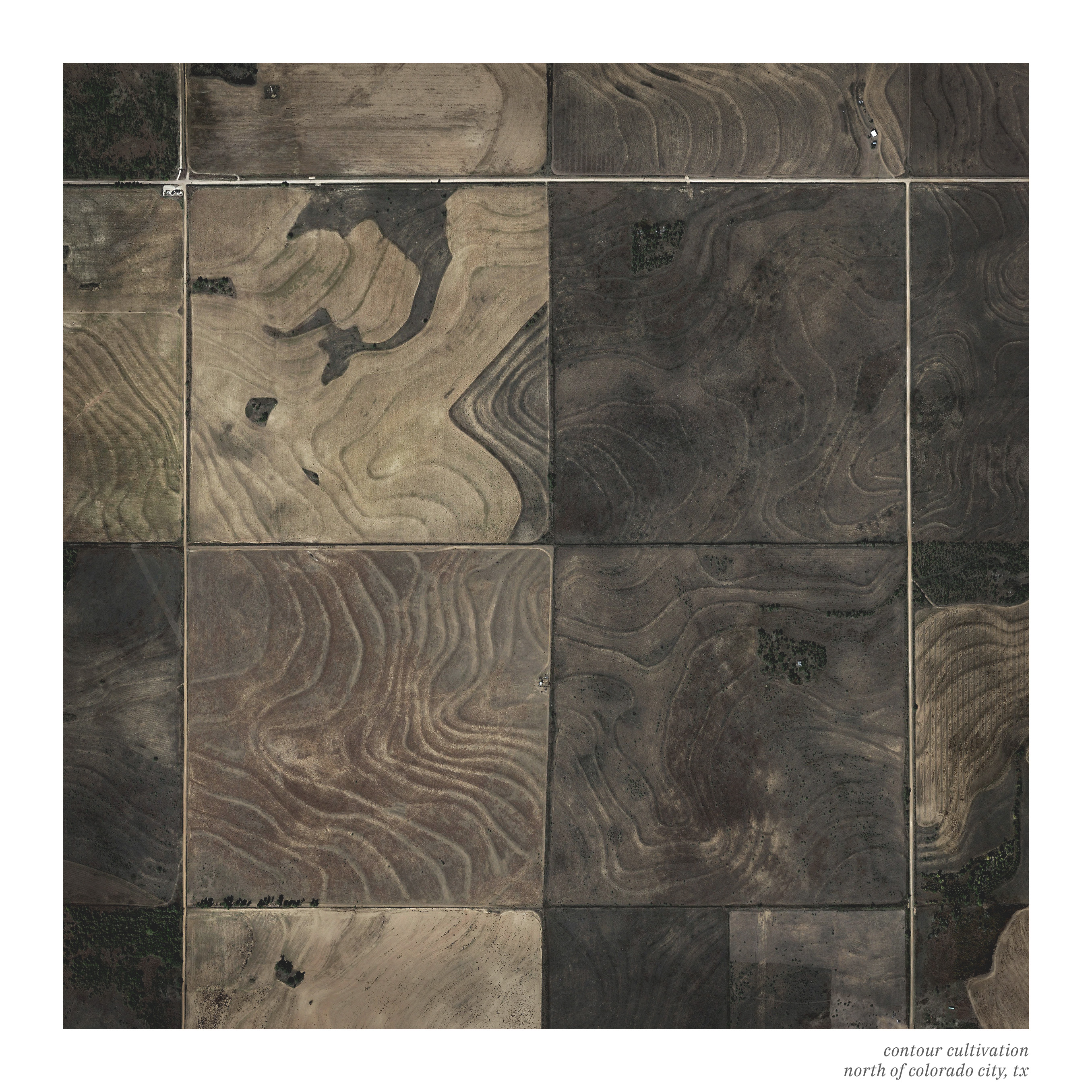
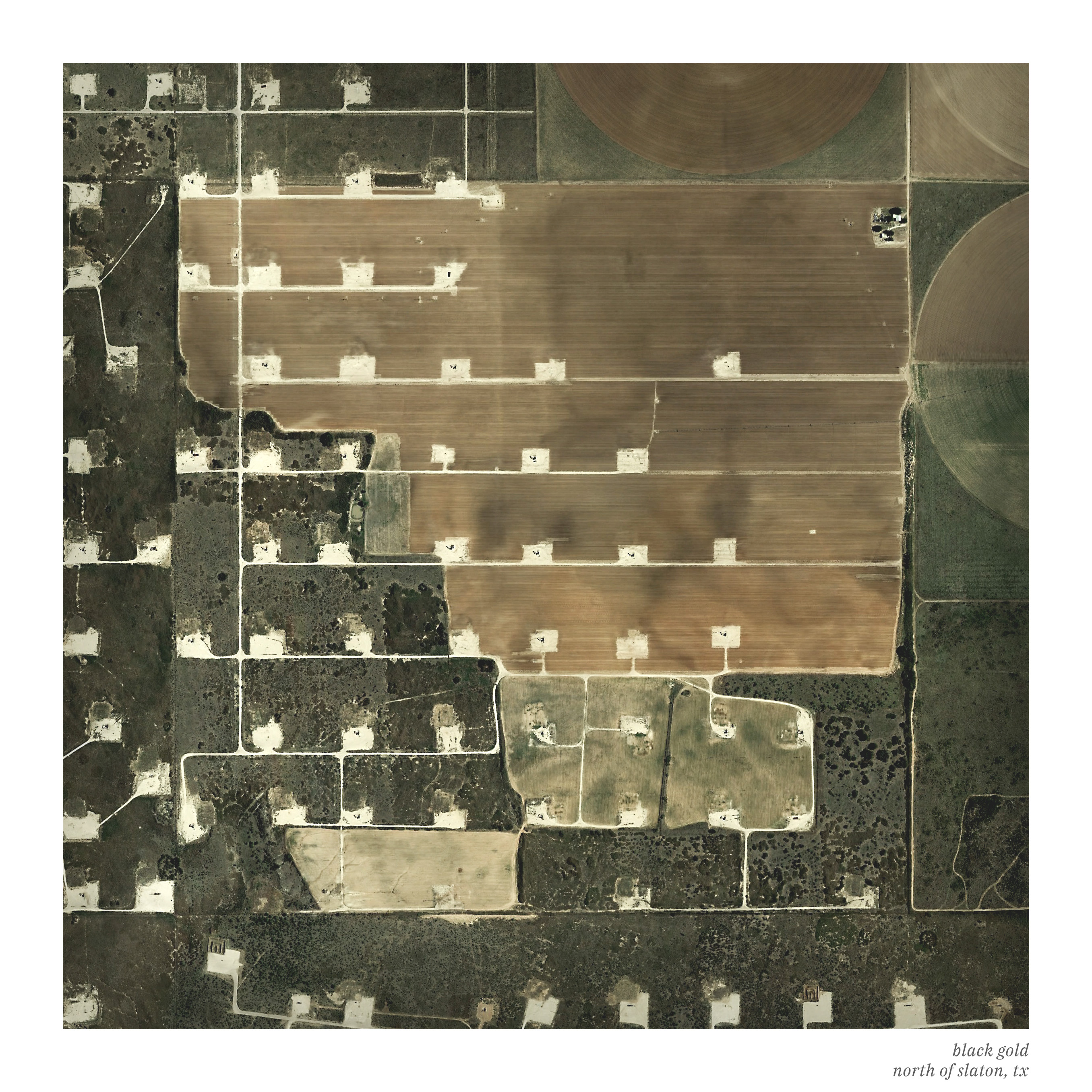
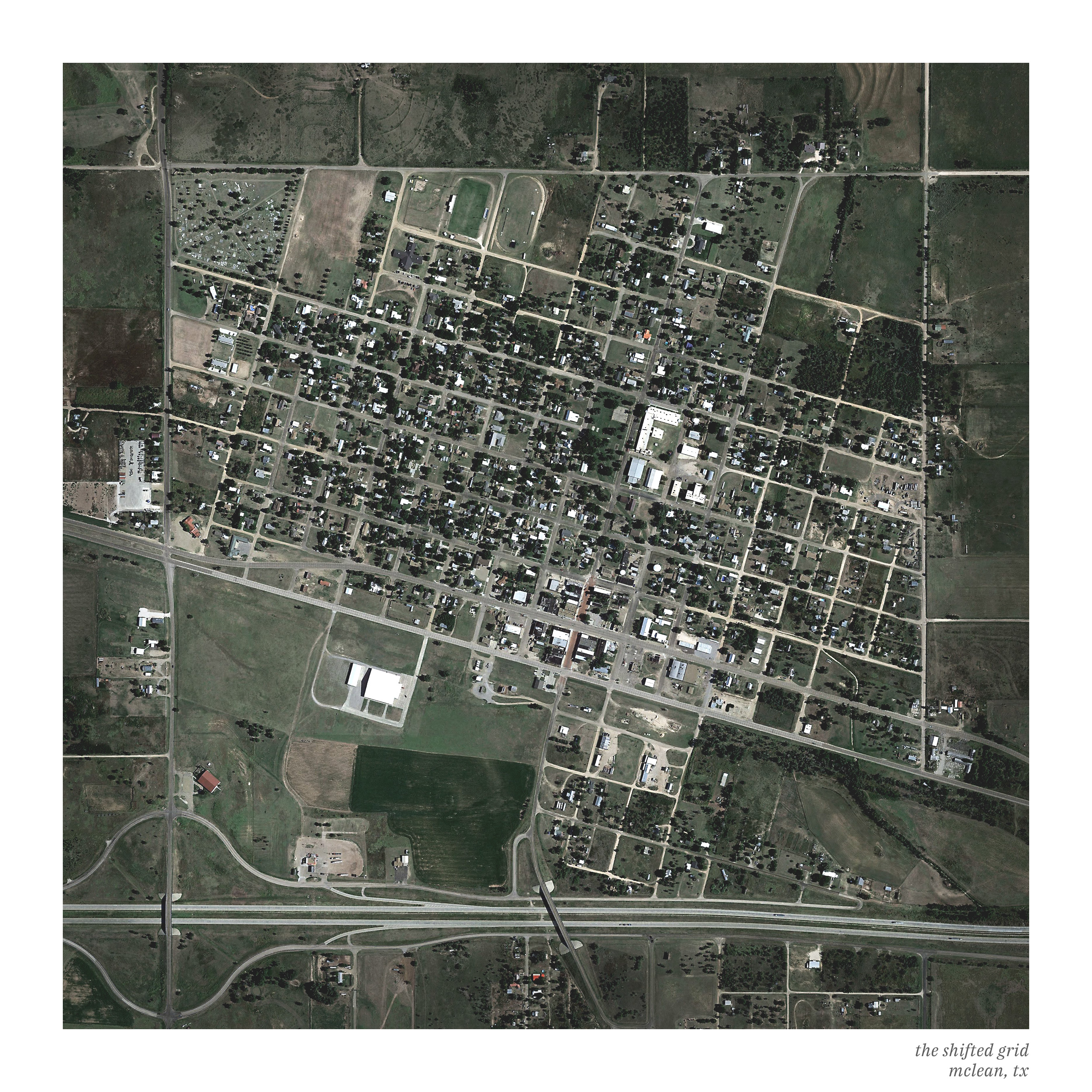
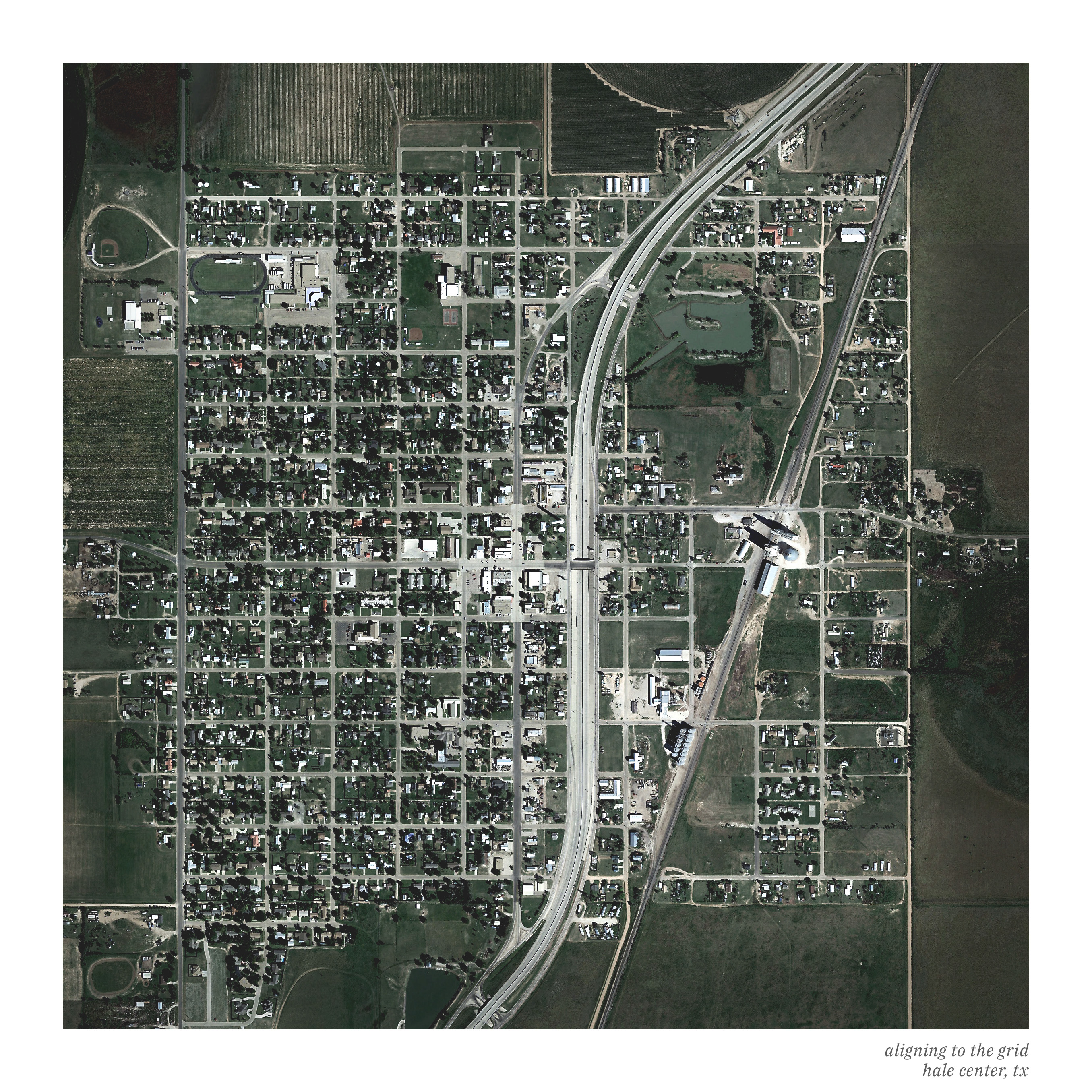
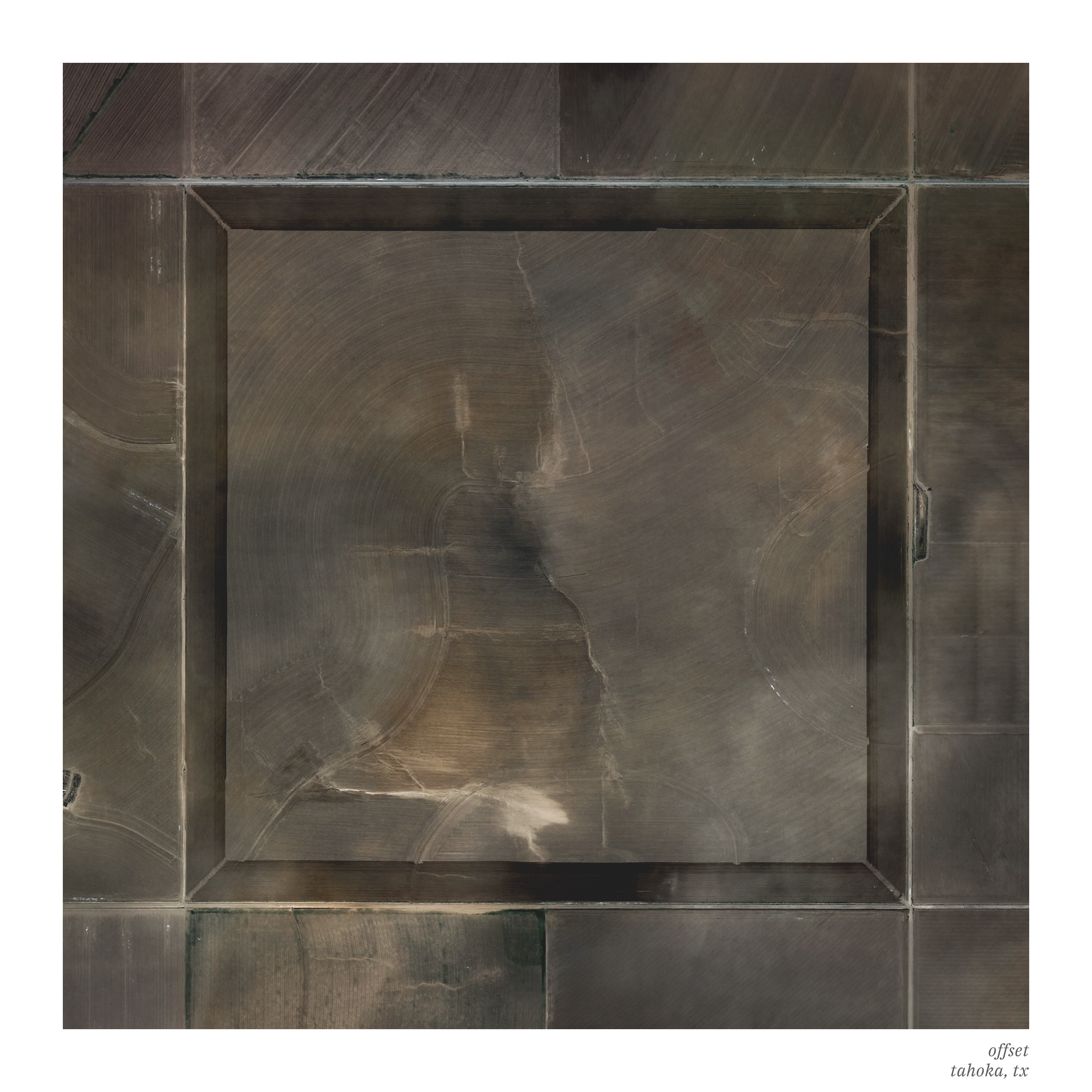
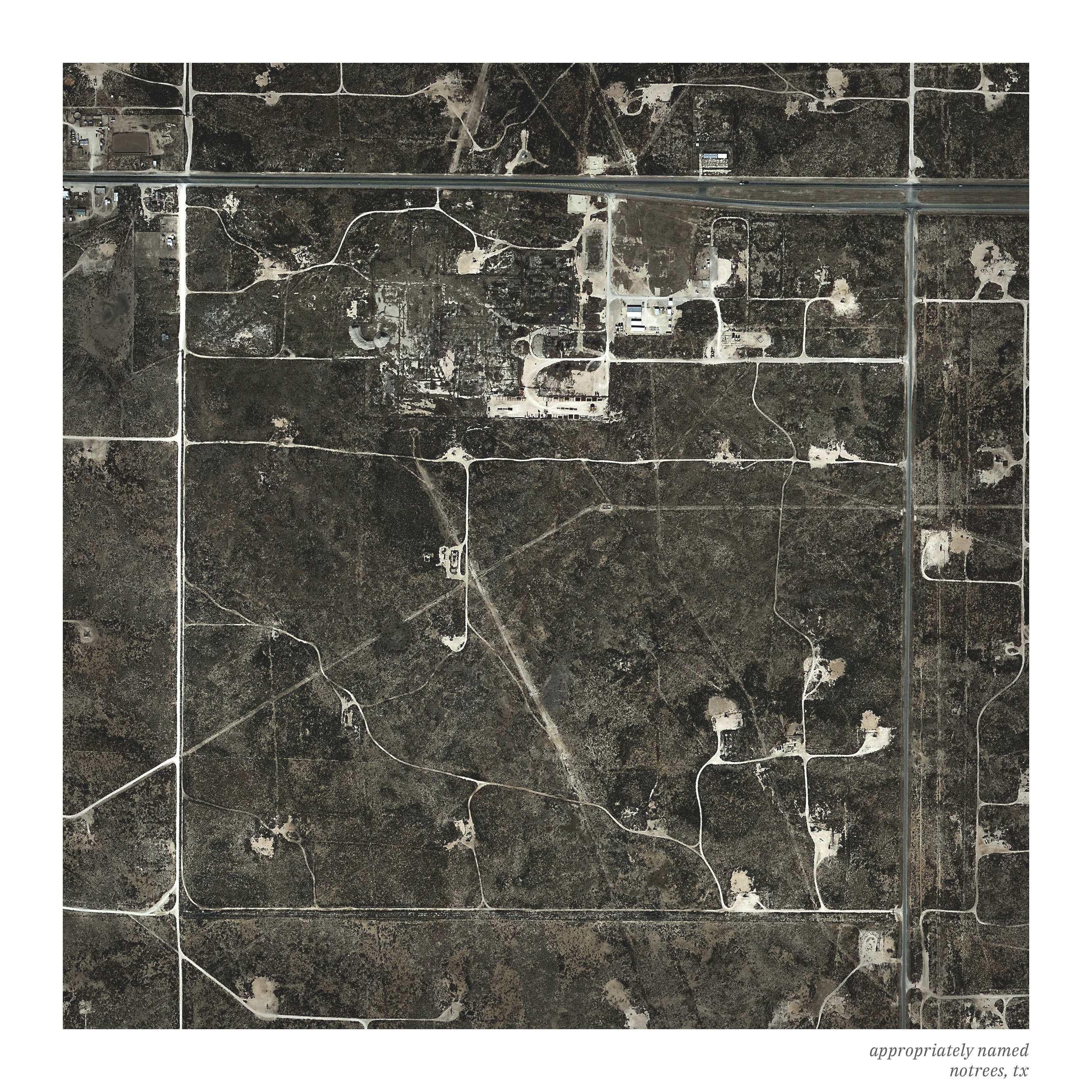
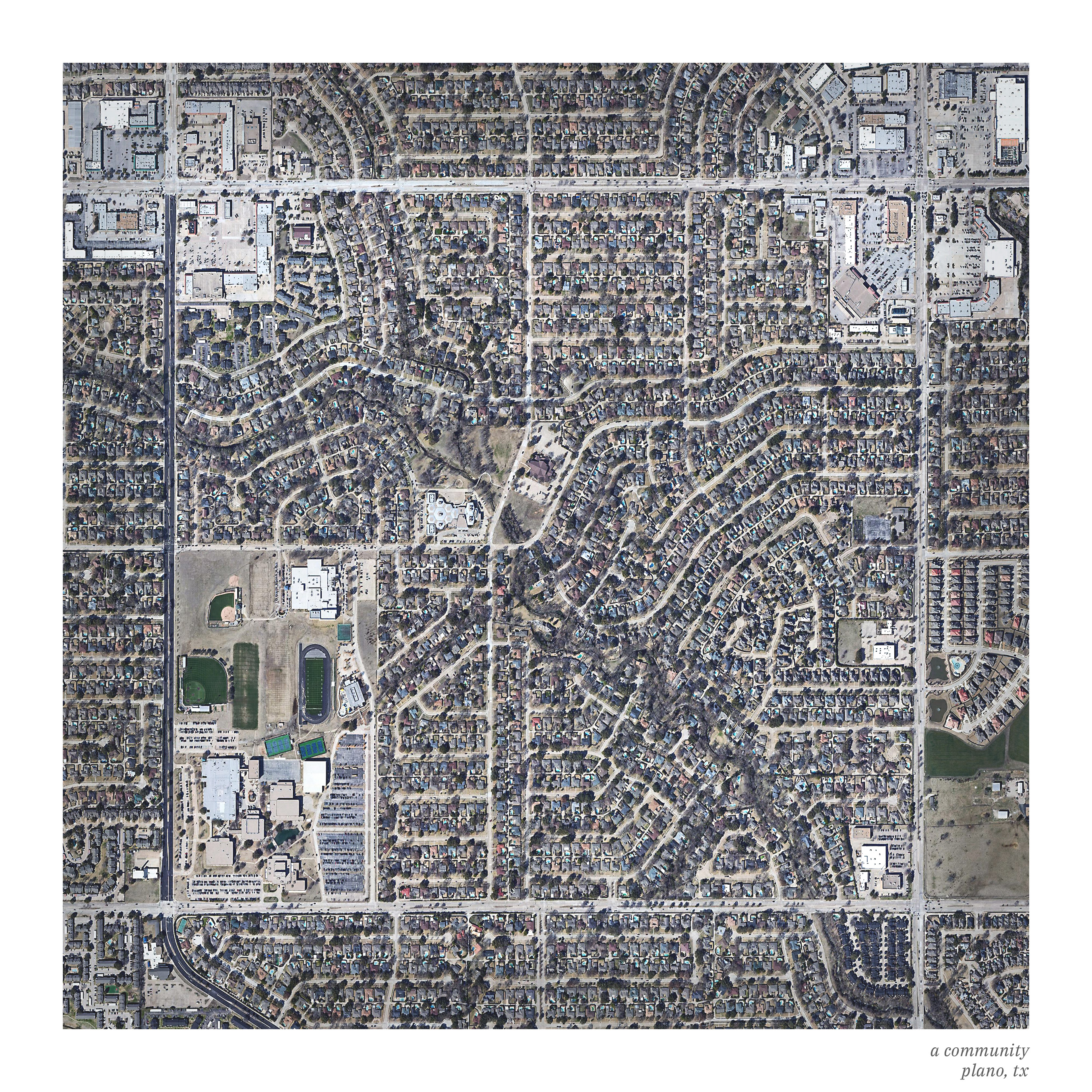
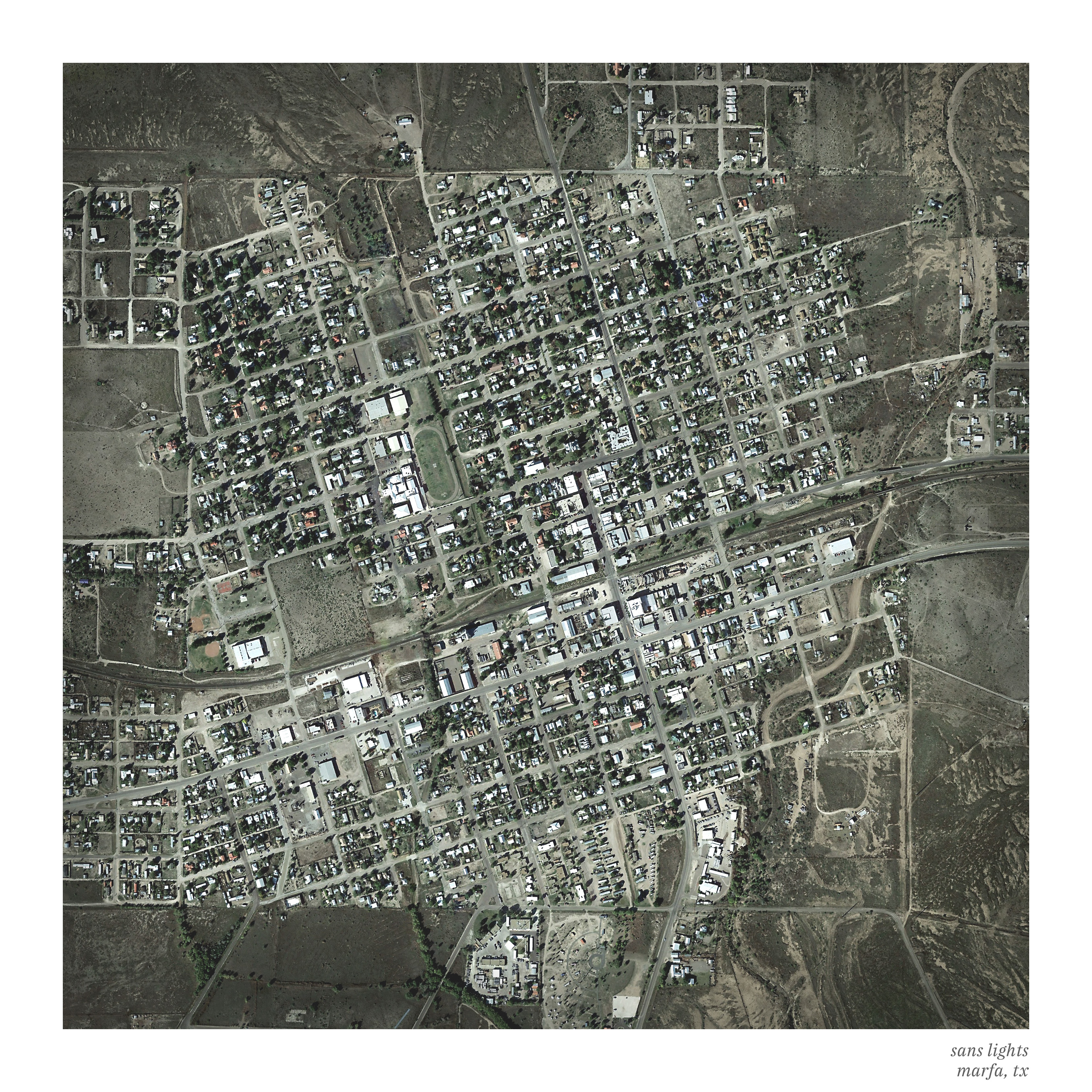
After the Revolutionary War, the US government became responsible for large swaths of land west of the original thirteen states. In an effort to divide this land up to offer to soldiers and also to sell the land to raise funds for the newly formed country, the Public Land Survey System was developed and used to divide the American west into square mile sections.
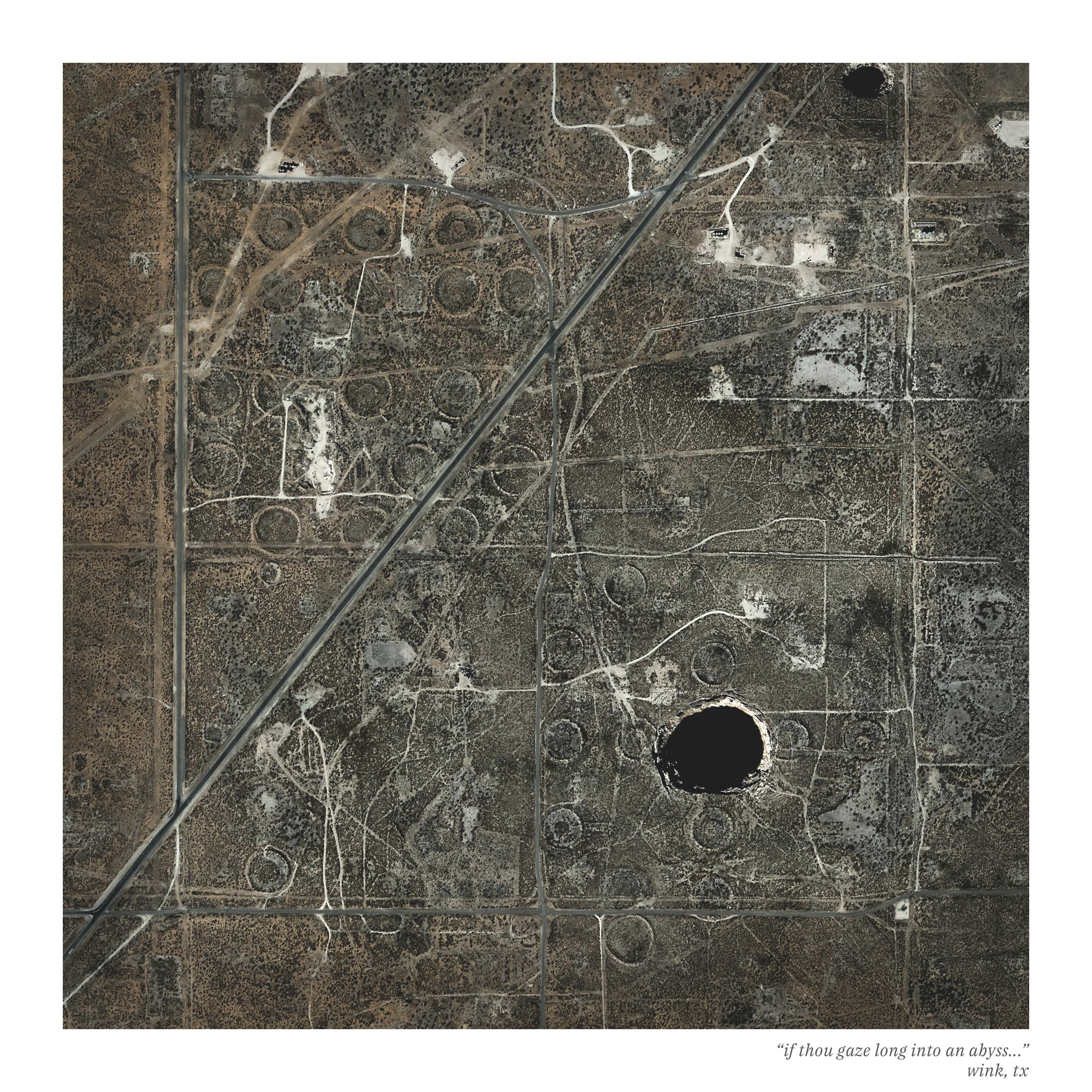
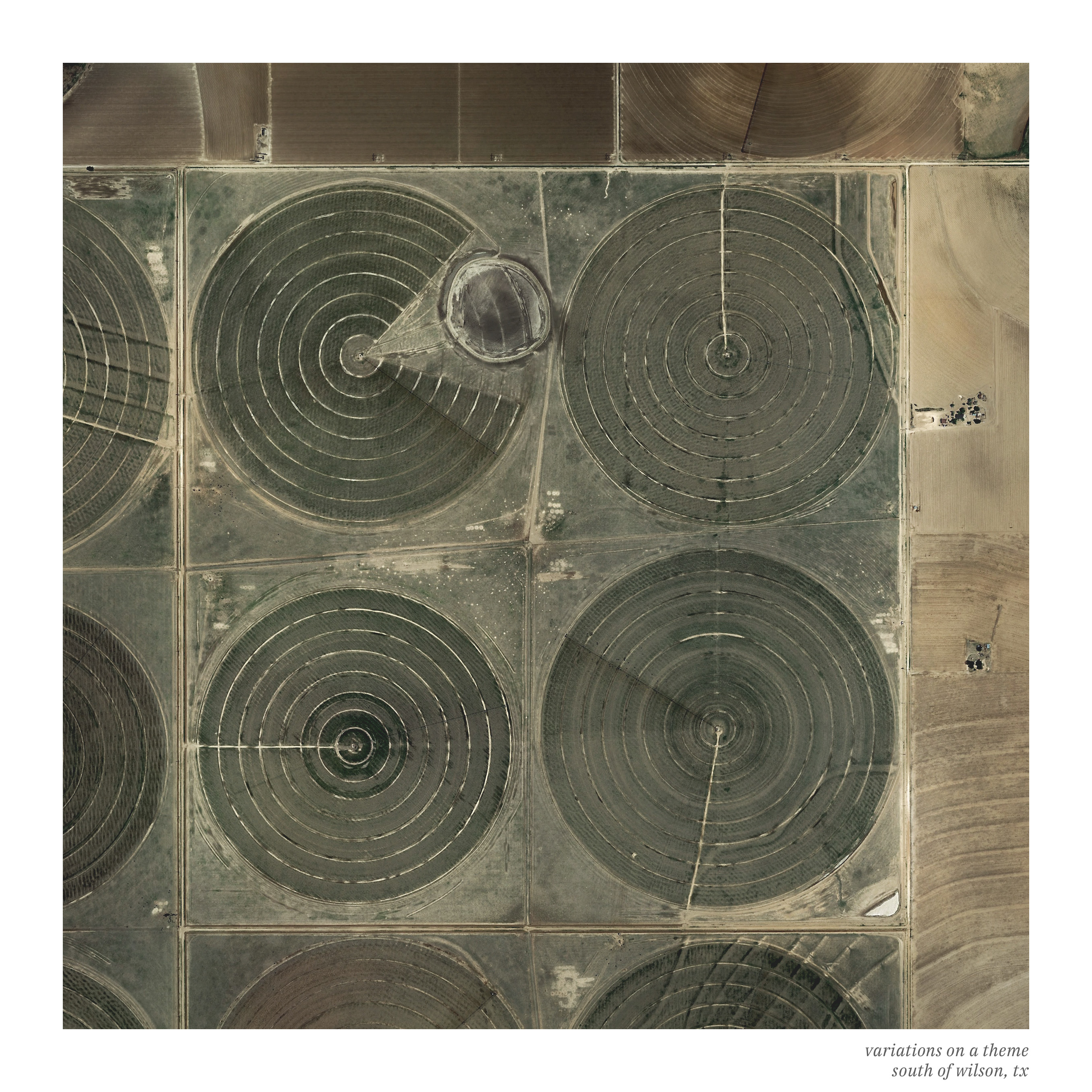
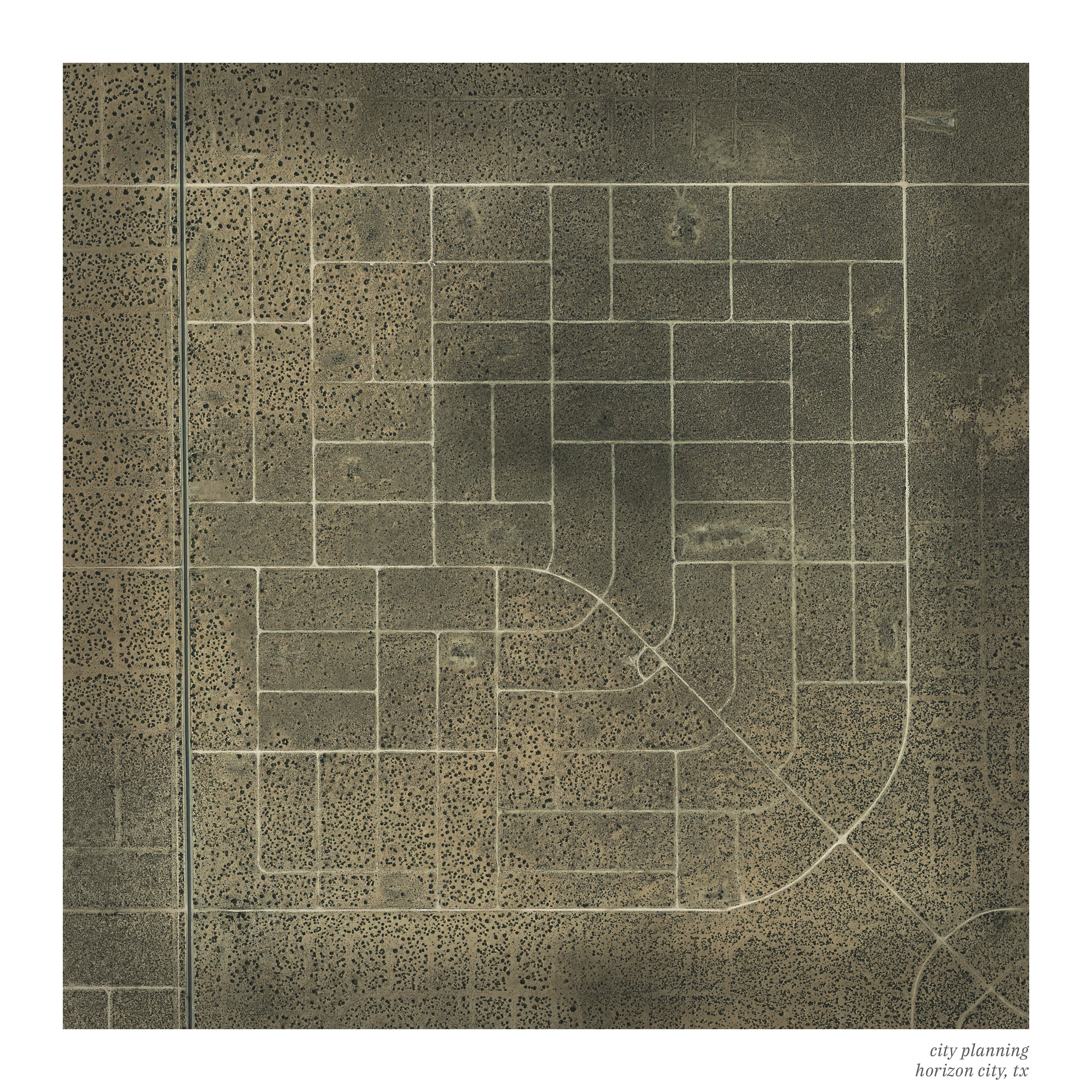
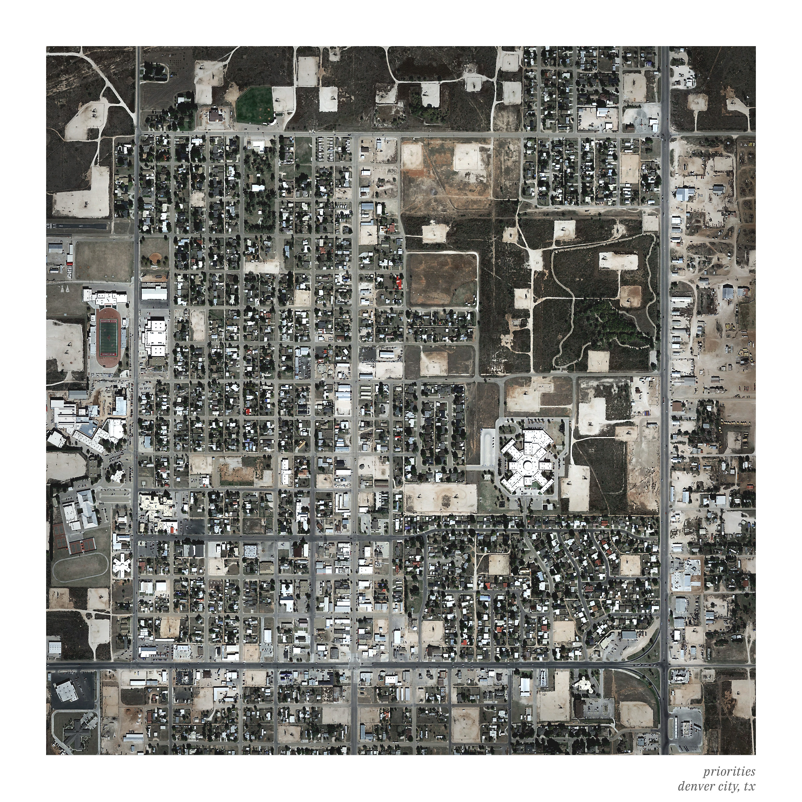
I grew up in between the lines of that grid, some x, y coordinate in the middle of delineated farms, fields, fallow, and frontier. Whether imposed upon the land or used as the ordering method by which we constructed our built environment, the grid is ever present. Below are select scenes of West Texas* that speak to the square mile grid.
*Yes, I know that Plano, Texas is not in West Texas. I included it as a comparison of density in suburban areas versus rural ones.
